
1940's Army topographic map Parishville NY Sheet 6073 III NE - $30 - (Slingerlands, NY)
Back to Search Results
Posted 1 month ago
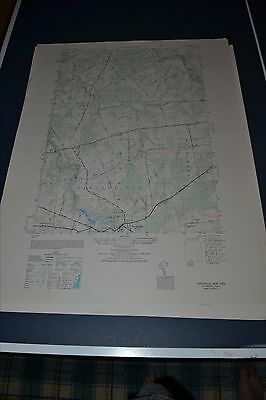
This is an Army Map Service topographic map of Parishville from the 1940's showing north to the St. Regis River showing part of Stockholm and Trout Brook. This was developed as part of the war effort and was distributed to libraries after the war. This map is suitable for framing and guaranteed original. This auction if for the first of two I will be selling. 22x29 1:25,000 /div>
ADVERTISEMENT
From ebay.com - 1 month ago