
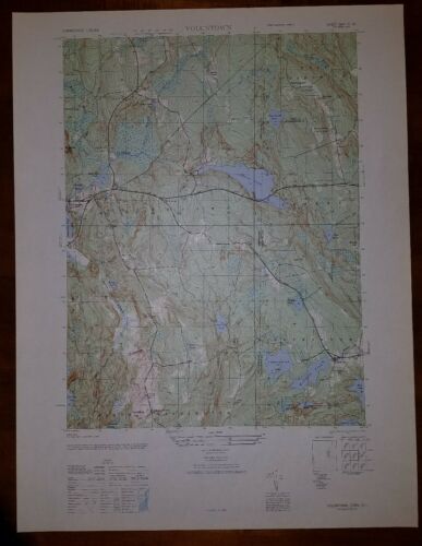
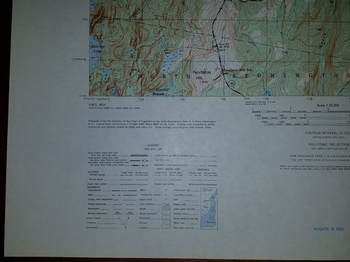
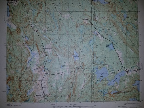
1940's Army (like USGS) topographic map Voluntown Connecticut, RI -6667 III SE - $25 - (Slingerlands, NY)
Back to Search Results
Posted 1 month ago
This is an Army Map Service map (AMS V814) of Voluntown from the 1940's (printed 1949) showing parts of New London County and Kent and Washington Counties in RI. This was developed as part of the war effort and was distributed to select libraries after the war. This map is suitable for framing and guaranteed original. 22x29 1:25,000 Shipping is for US addresses and I will combine shipping. These maps have been stored flat since printing and will be shipped in a sturdy shipping tube. Look for my other similar maps of the area. This sale is for my last copy of this map.


ADVERTISEMENT
From ebay.com - 1 month ago