
1940's Army topographic map (like USGS) Branford Connecticut -Sheet 6466 IV SW - $30 - (Slingerlands, NY)
Back to Search Results
Posted 1 month ago
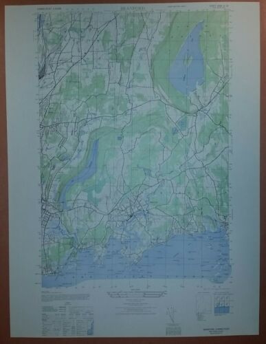
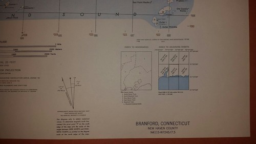
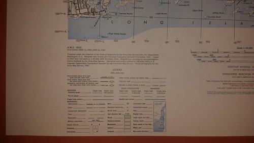
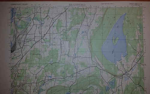
This is an Army Map Service map (AMS V814) of Branford from the 1940's showing from Momaugun Beach to Stony Creek and north into North Haven This was developed as part of the war effort and was distributed to select libraries after the war. This map is suitable for framing and guaranteed original. 22x29 1:25,000 Shipping is for US addresses and I will combine shipping. These maps have been stored flat since printing and will be shipped in a sturdy shipping tube. Look for my other similar maps of the area. If you would like combined shipping, contact me prior to bidding.

ADVERTISEMENT
From ebay.com - 1 month ago