
1940's Army (like USGS) topographic map Mine Run Virginia 5460 IV SE Locustgrove - $20 - (Slingerlands, NY)
Back to Search Results
Posted 1 month ago
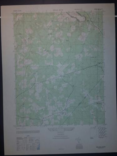
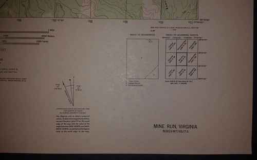
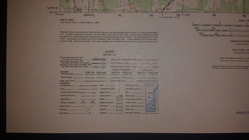
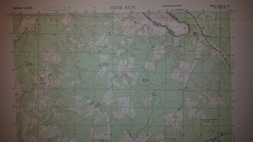
This is an Army Map Service map (AMS V834) of Mine Run (printed 1946-50) showing Gold Dale, Parker, Locustgrove, Burr Hill, Indiantown and Flatrun. This was developed by the US Army Map Service based on 1942 aerial photography. This map is suitable for framing and guaranteed original. 22x29 1:25,000 Shipping is for US addresses and I will combine shipping. These maps have been stored flat since printing and will be shipped in a sturdy shipping tube. Look for my other similar maps of the area. If you would like combined shipping, contact me prior to bidding. This sale is the first of two copies of this map (one printed 1946 and one printed 1950).

ADVERTISEMENT
From ebay.com - 1 month ago